During the 20201 Olympics, I was curious about the competitors’ countries. Sure, I could google each one and load up its wikipedia page, but that’s a lot of information and the wikipedia sidebar isn’t the easiest thing to parse at a glance. So, I created my own small web app to summarize countries for me at countries.justinjoyce.dev.
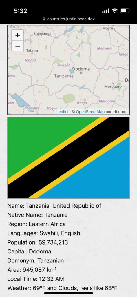
It shows the country’s location on the map, its flag (I have a thing for flags), and some basic information: languages, population, local time, local weather, etc. I designed it for use on my phone, so it’s a little wonky on a laptop, but it gets the job done.
It comes in handy surprisingly often, like when you’re watching Somebody Feed Phil and think, “Hmm, how many people live in Chile?”
Here’s a screenshot from my phone featuring one of my personal favorite country flags, Tanzania:

I considered writing a technical-write-up type post for this project, but it’s a pretty straightforward React app and that seemed boring.
So instead, I’m just leaving this post here in the hopes that a few people might think it’s a random helpful tool; have at it.
- Actually held in 2021. Covid, amirite? ↩︎